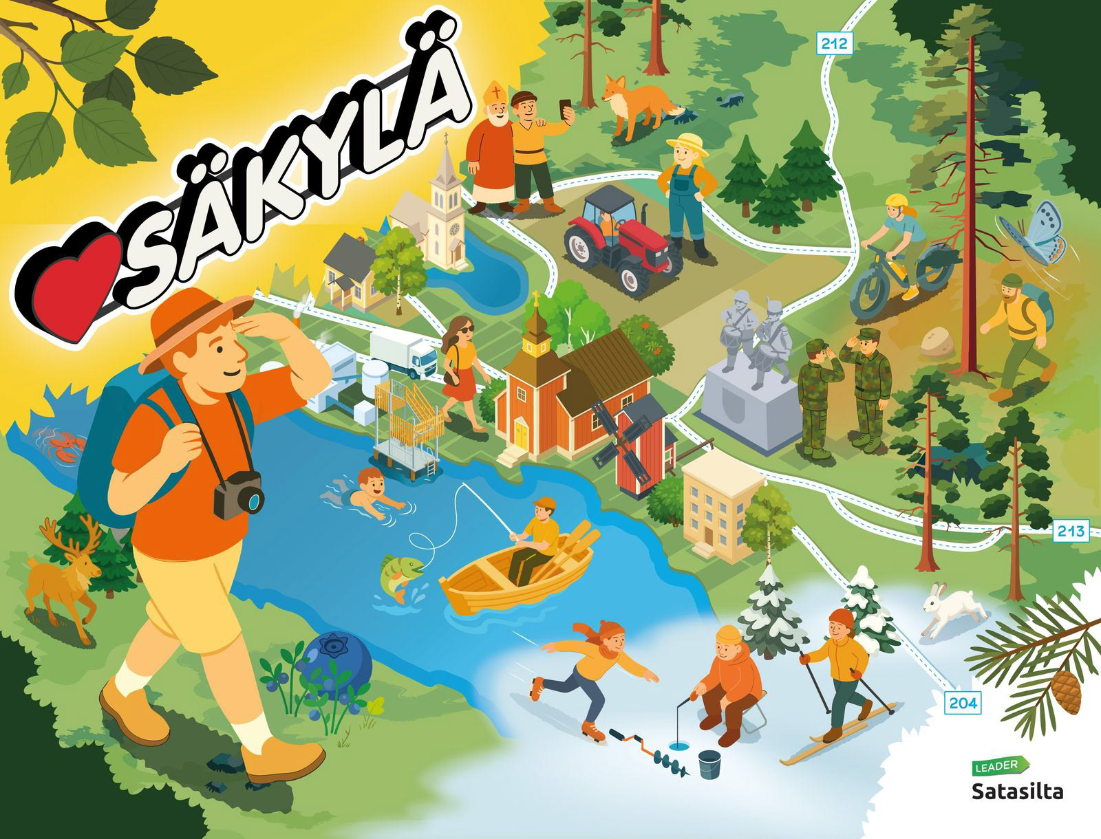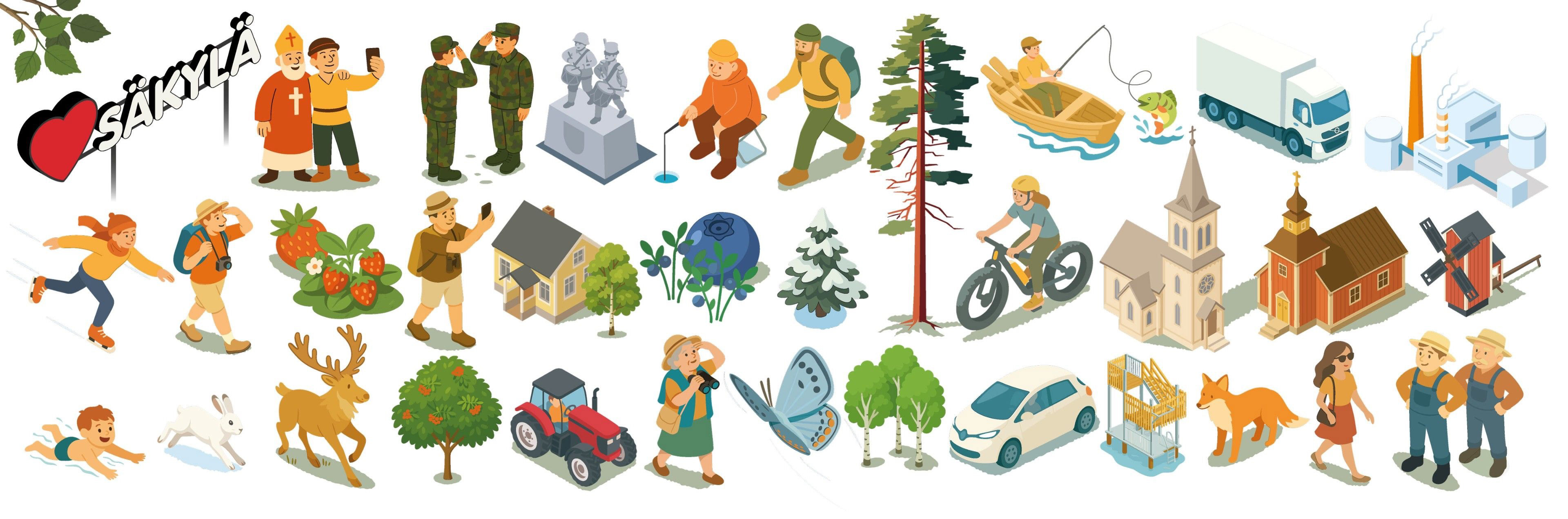
I created an illustrated map for Säkylä that brings together the municipality’s landscapes, livelihoods, and cultural elements into a cohesive visual narrative. Rather than functioning as a traditional map, the piece acts as a storytelling tool that captures the character of the place through everyday scenes and local symbols.
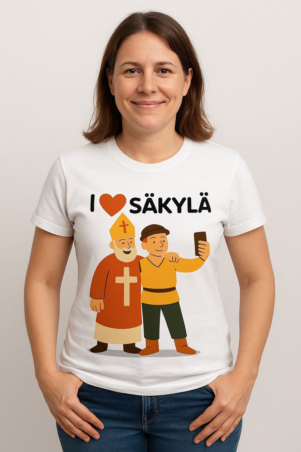
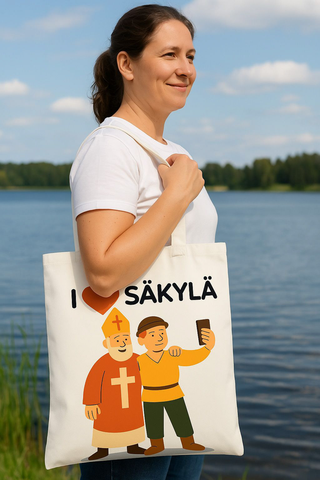
The illustration is built from clear shapes and soft color fields, making it both approachable and highly adaptable across different contexts. Individual elements were designed to work independently, allowing the visual language to extend into signage, communication materials, and products.